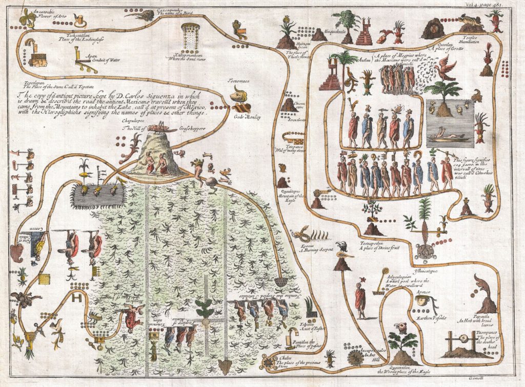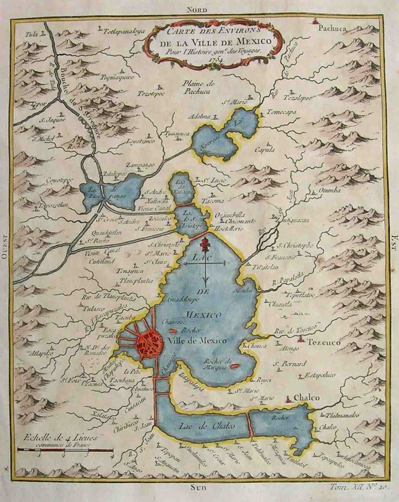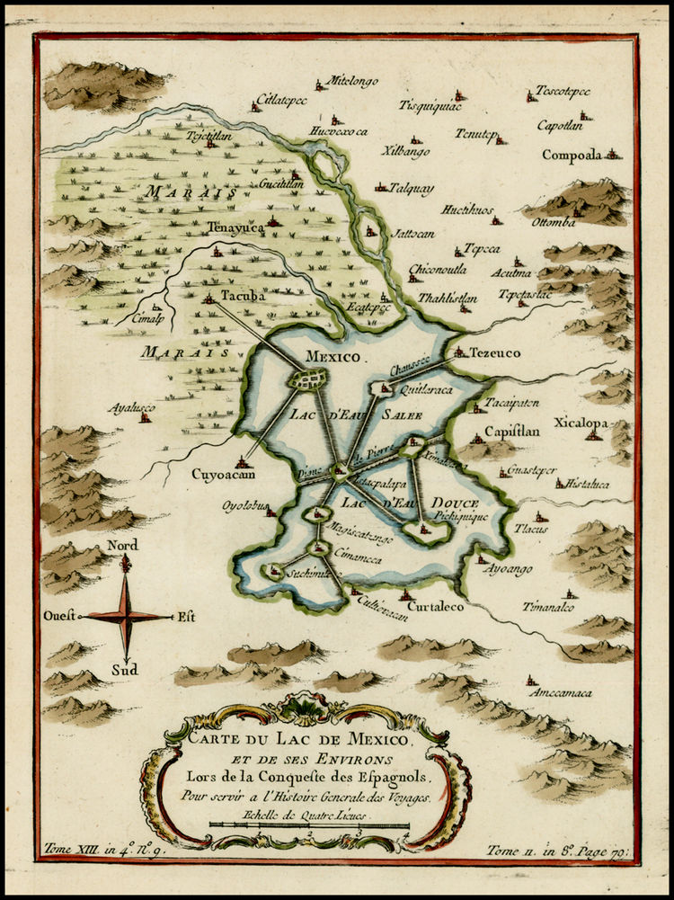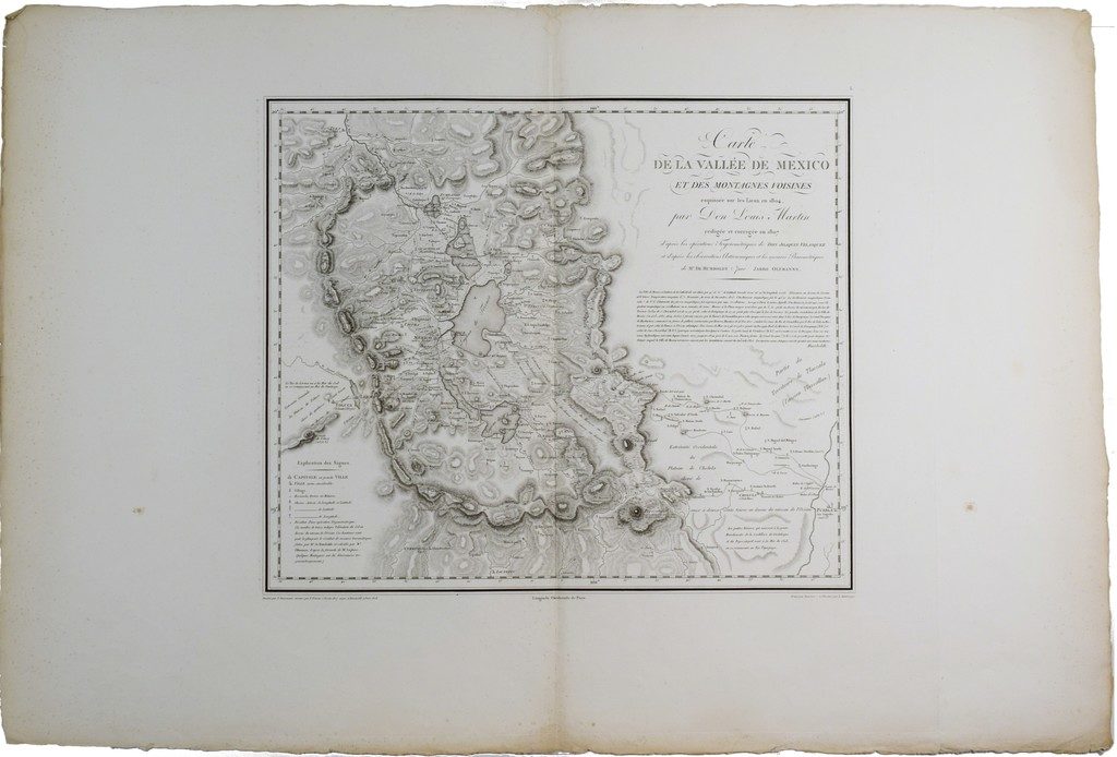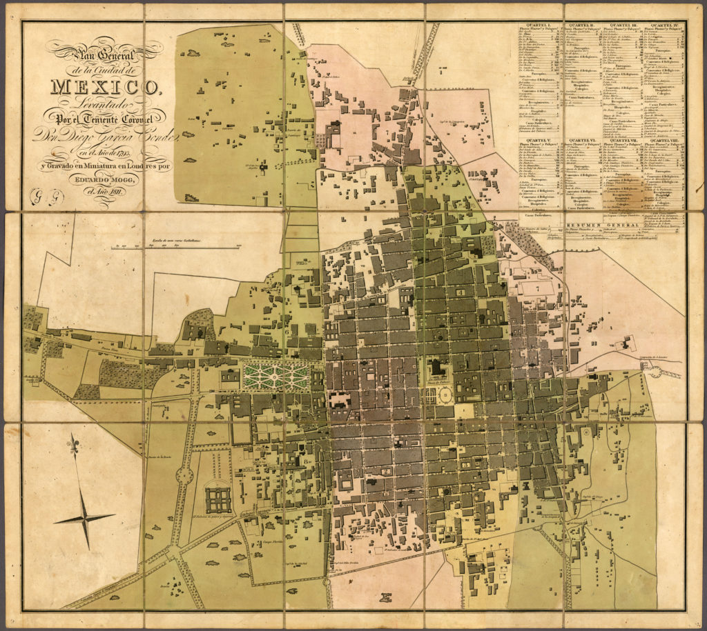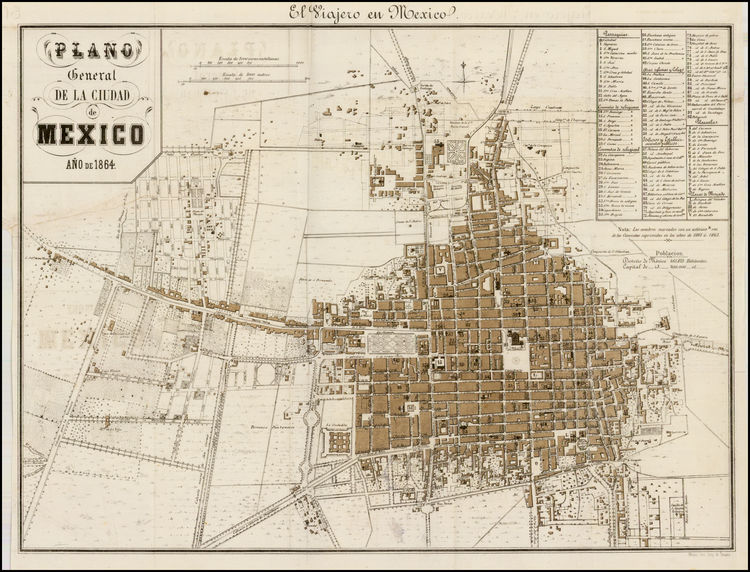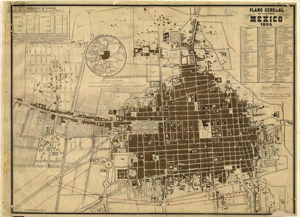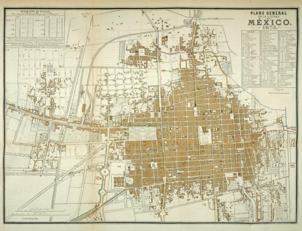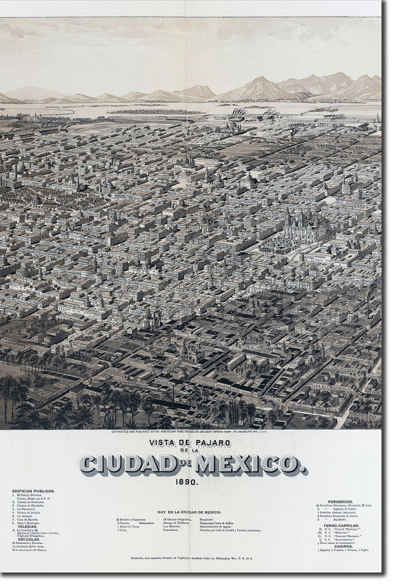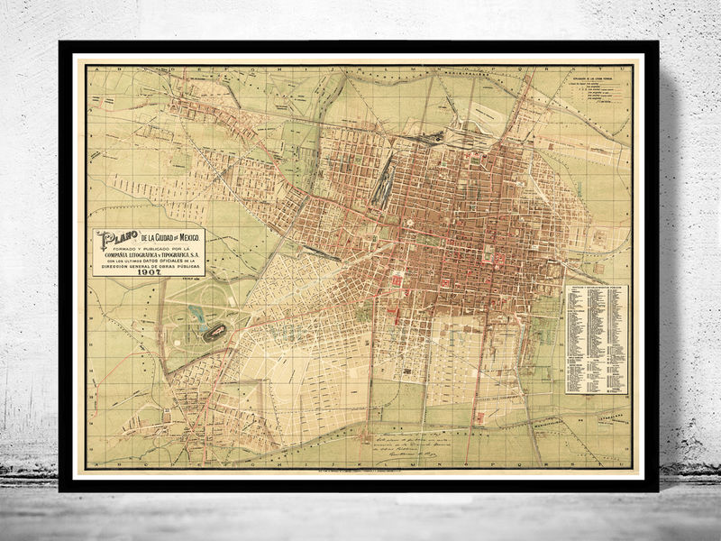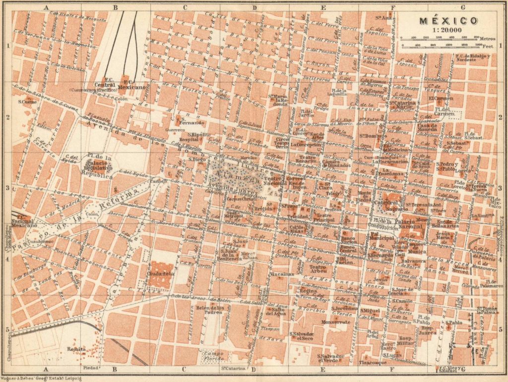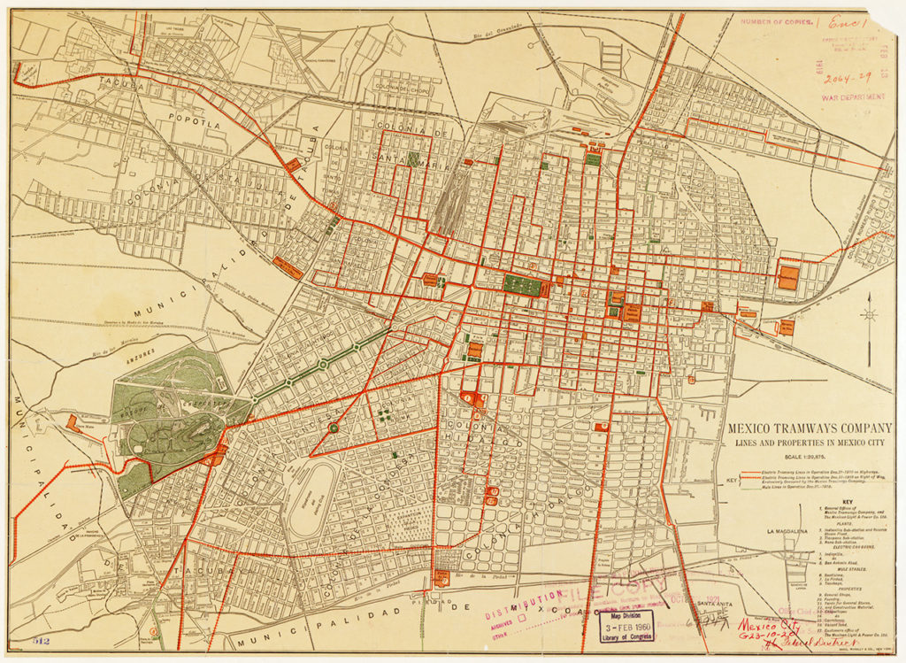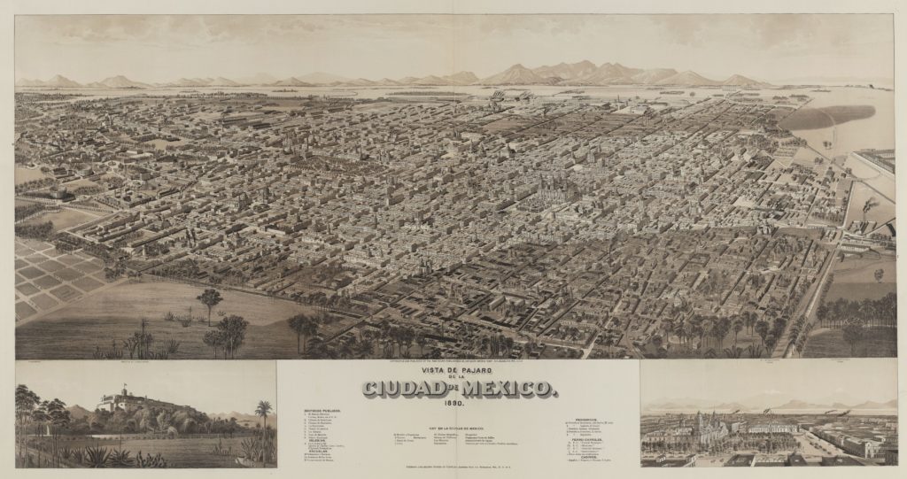
Collection of Maps from Tenochtitlán to Mexico City
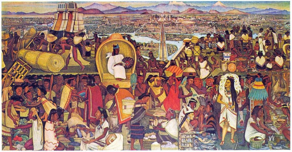
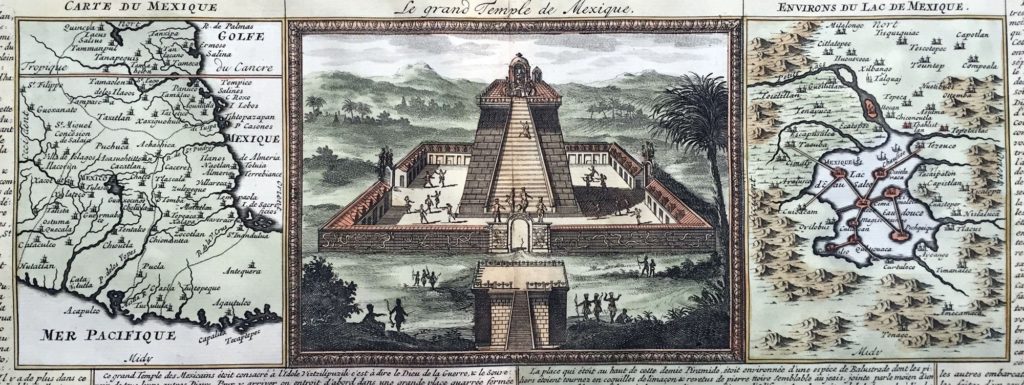
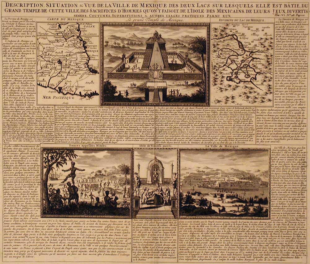
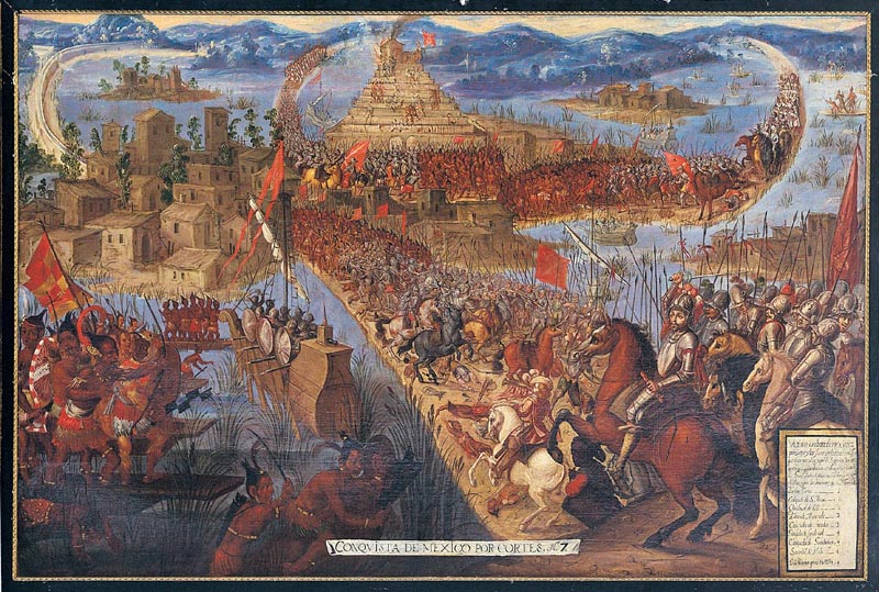
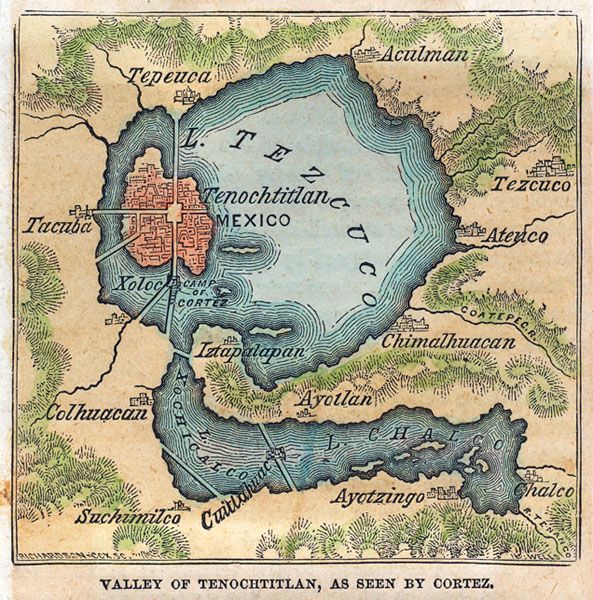
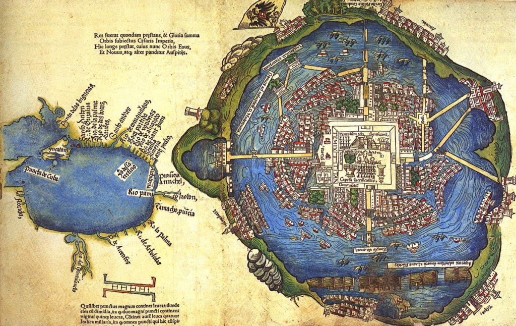
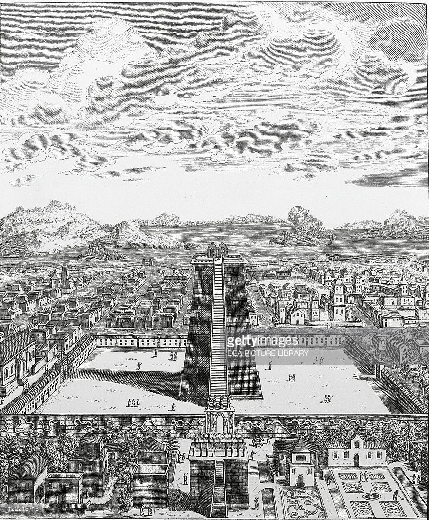
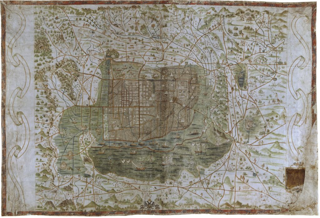
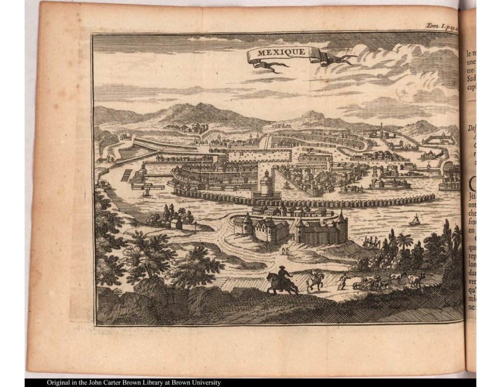
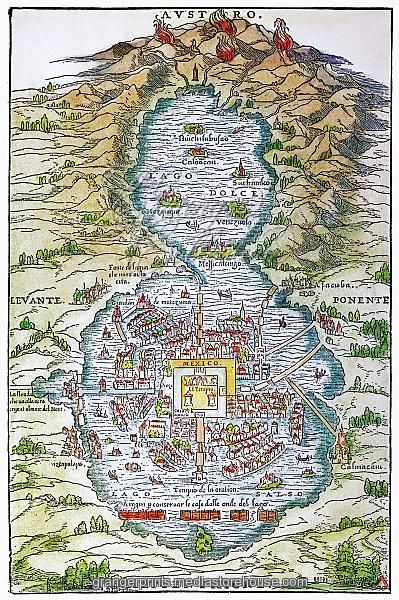
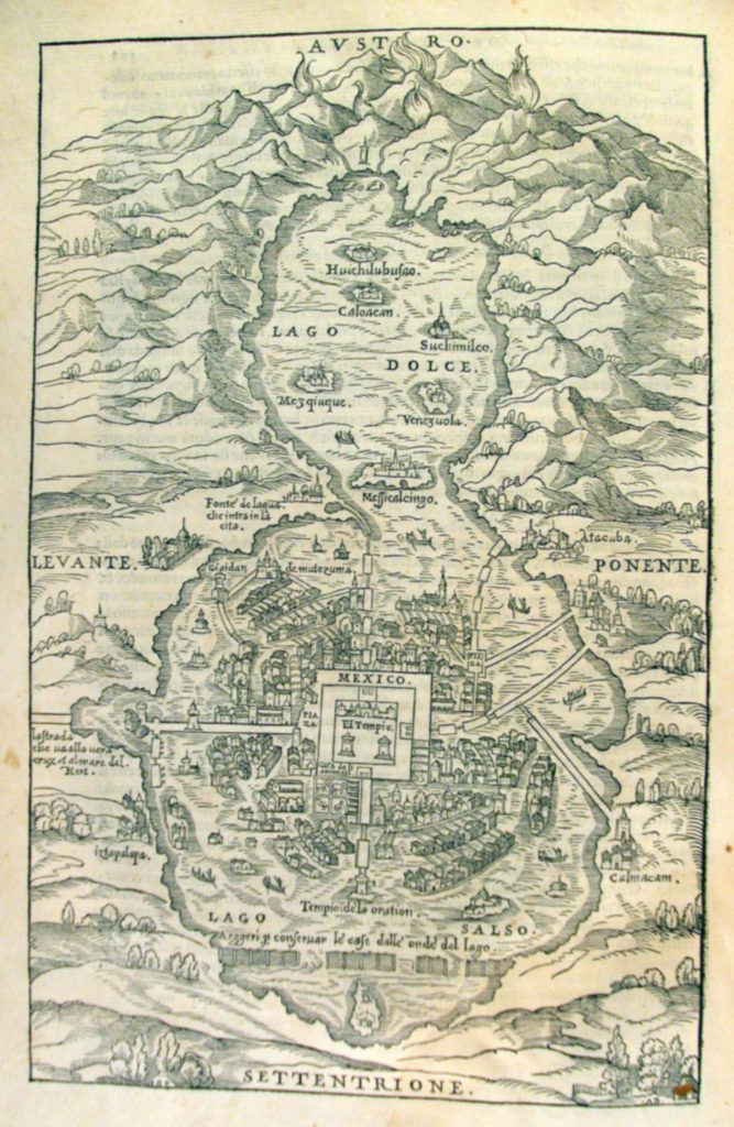
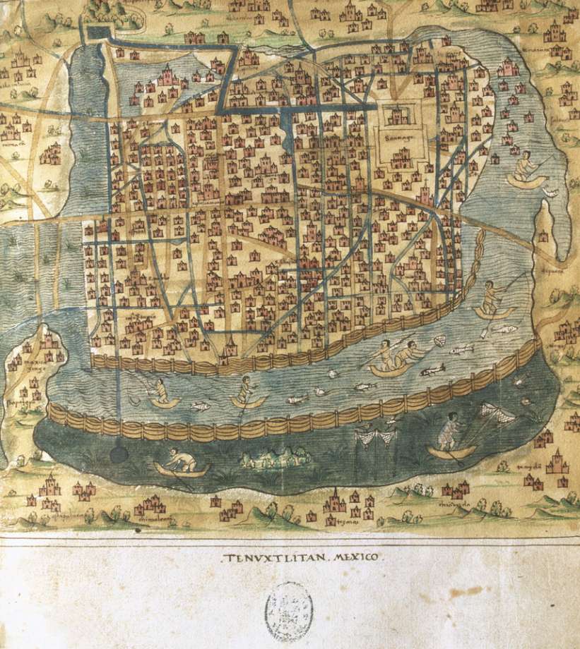
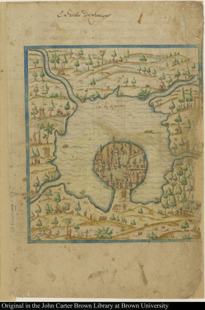
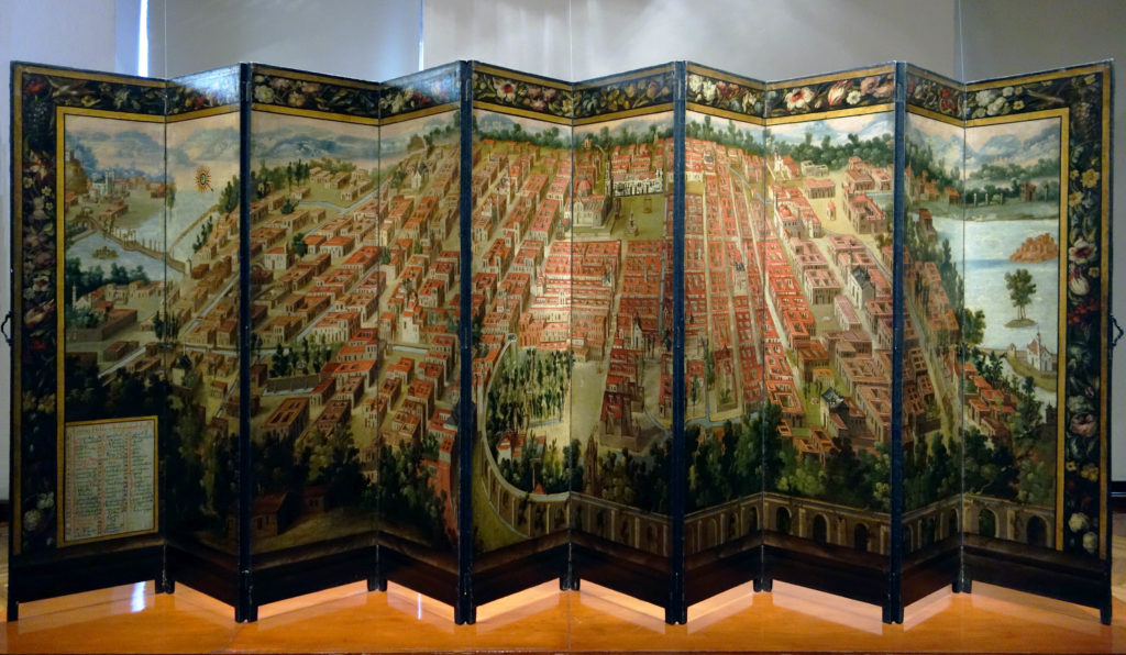
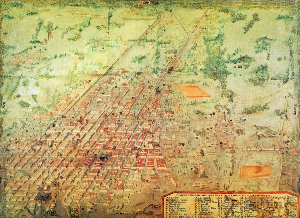
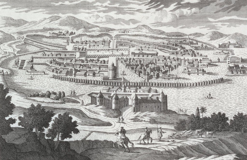
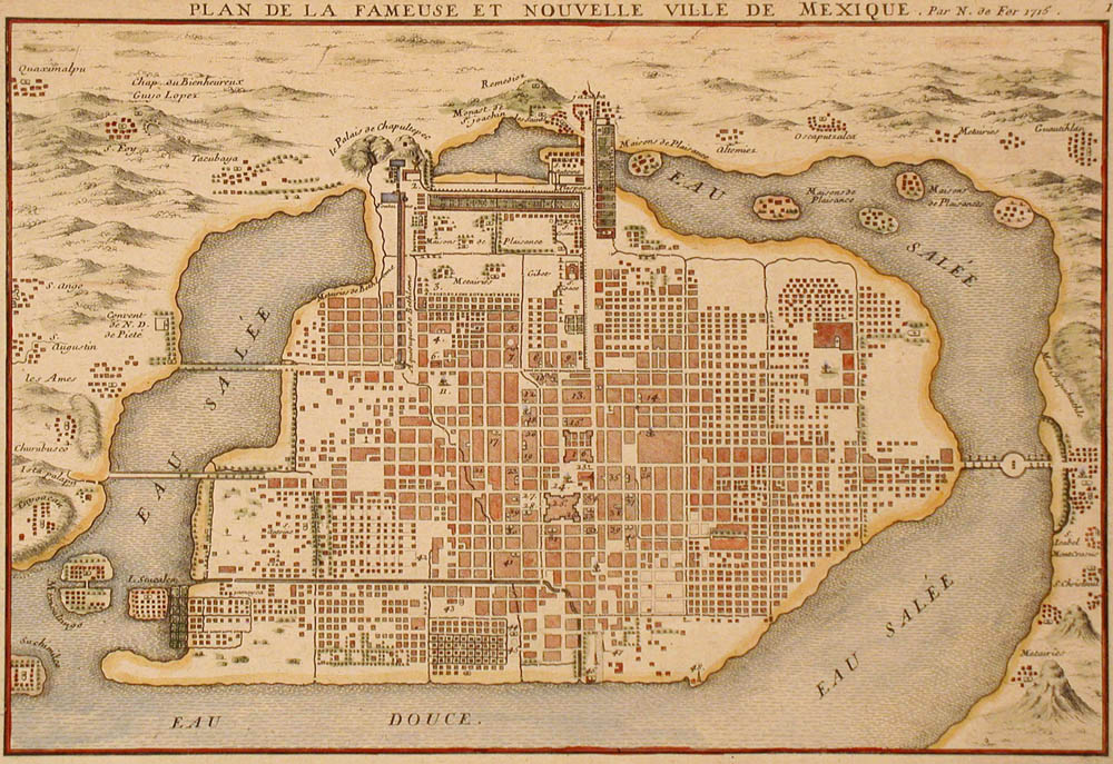
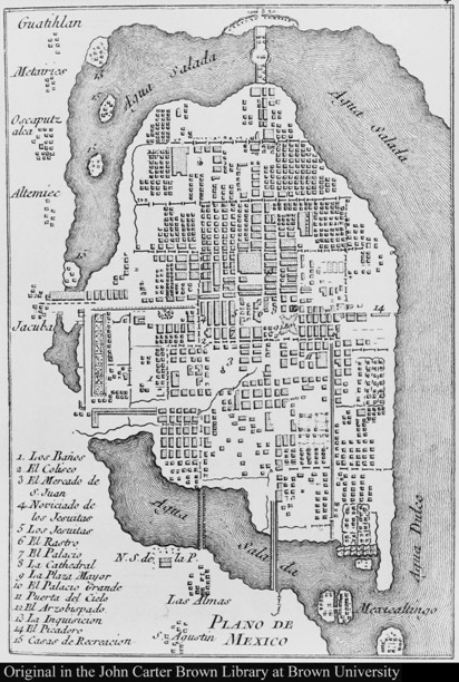
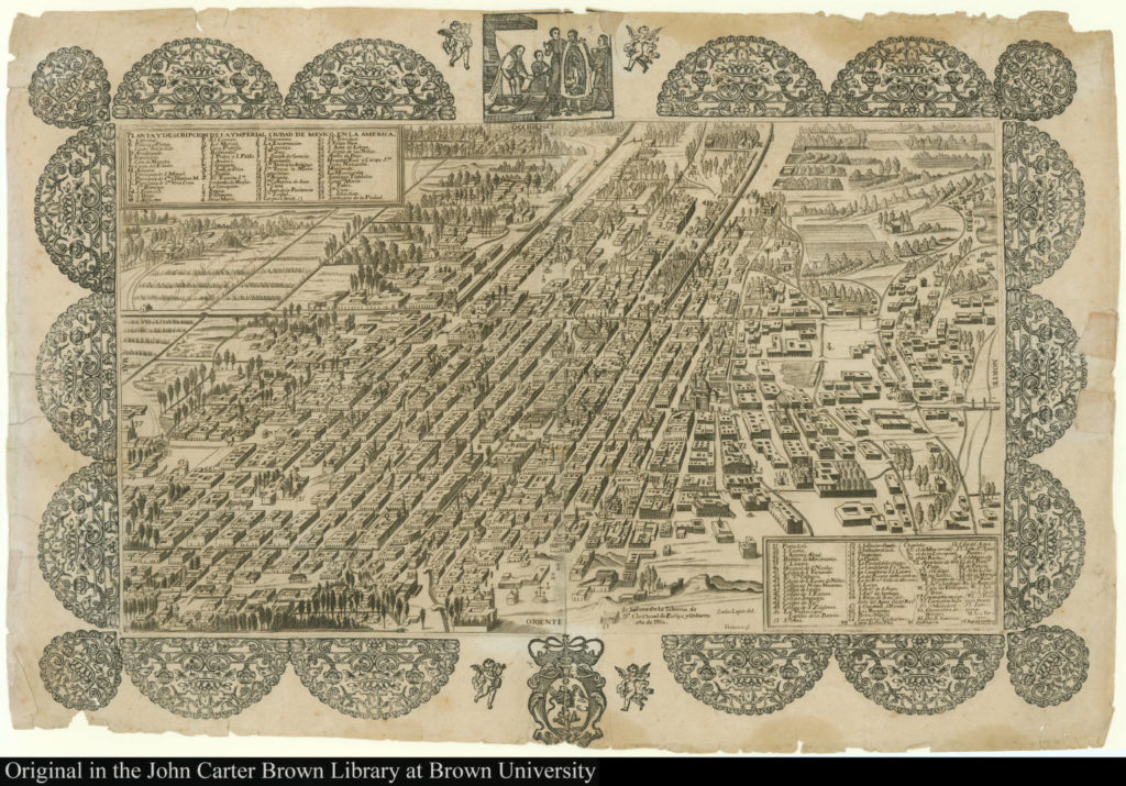
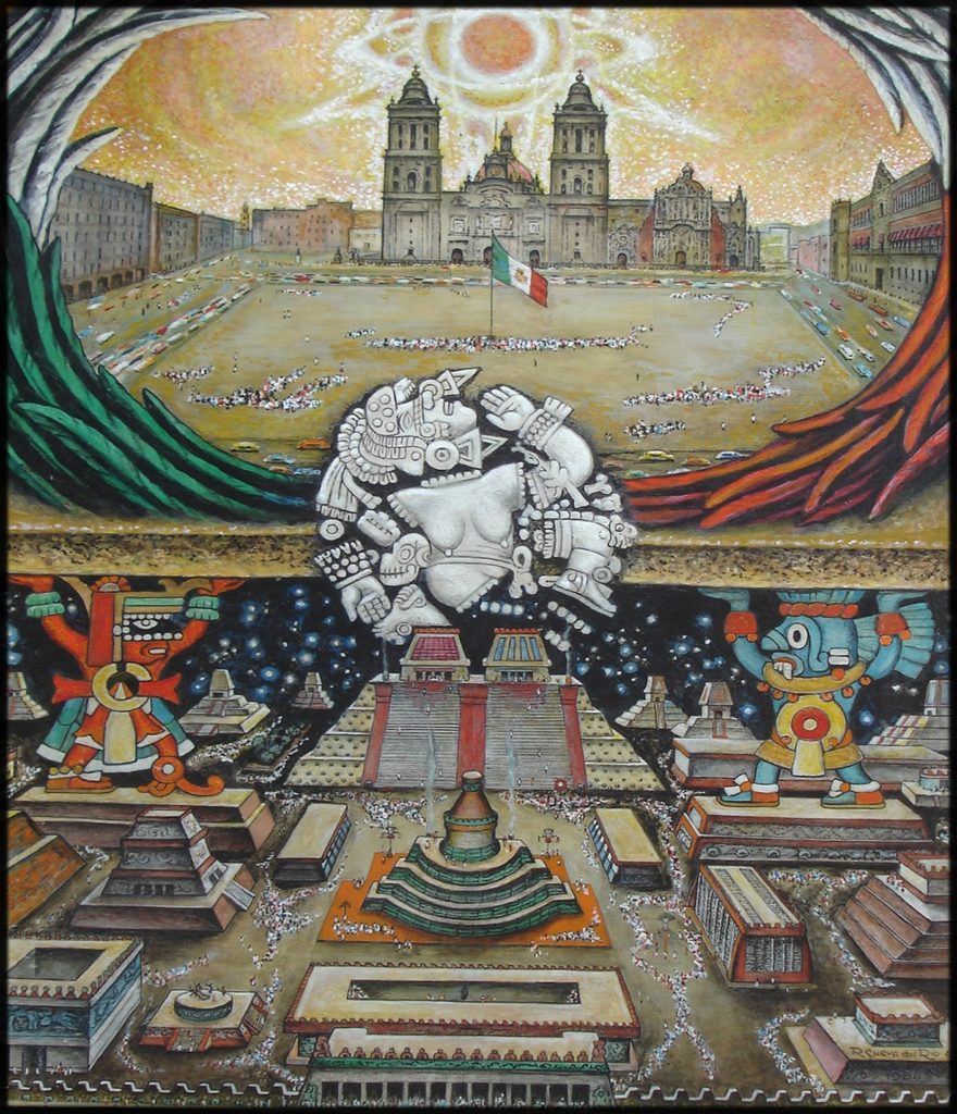
“This great city of Tenochtitlán is built on the salt lake, and no matter by what road you travel there are two leagues from the main body of the city to the mainland. There are four artificial causeways leading to it, and each is as wide as two cavalry lances. The city itself is as big as Seville or Córdoba. The main streets are very wide and very straight; some of these are on the land, but the rest and all the smaller ones are half on land, half canals where they paddle their canoes. All the streets have openings in places so that the water may pass from one canal to another. Over all these openings, and some of them are very wide, there are bridges. . . . There are, in all districts of this great city, many temples or houses for their idols. They are all very beautiful buildings.” — Hernando Cortés, Tenochtitlán, 1521.
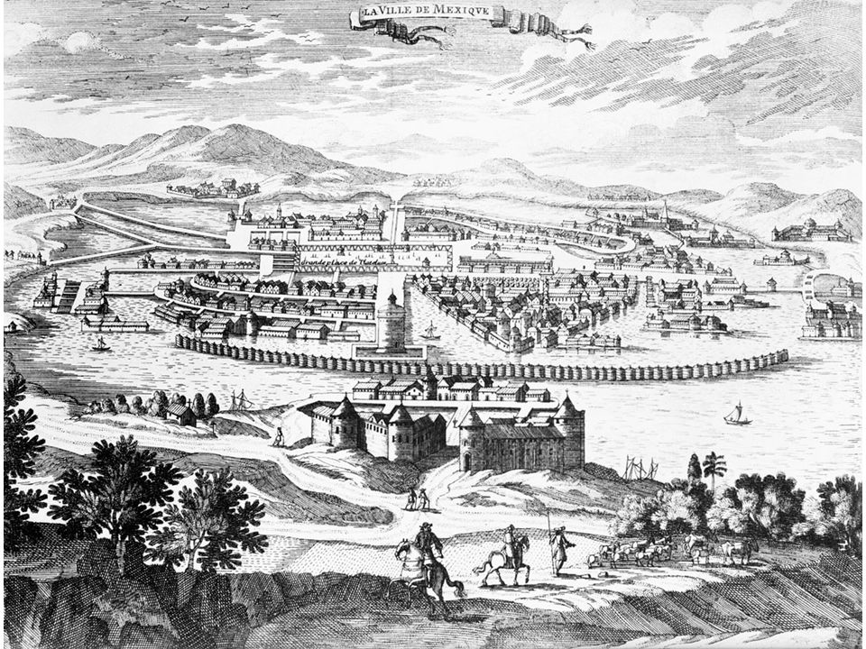
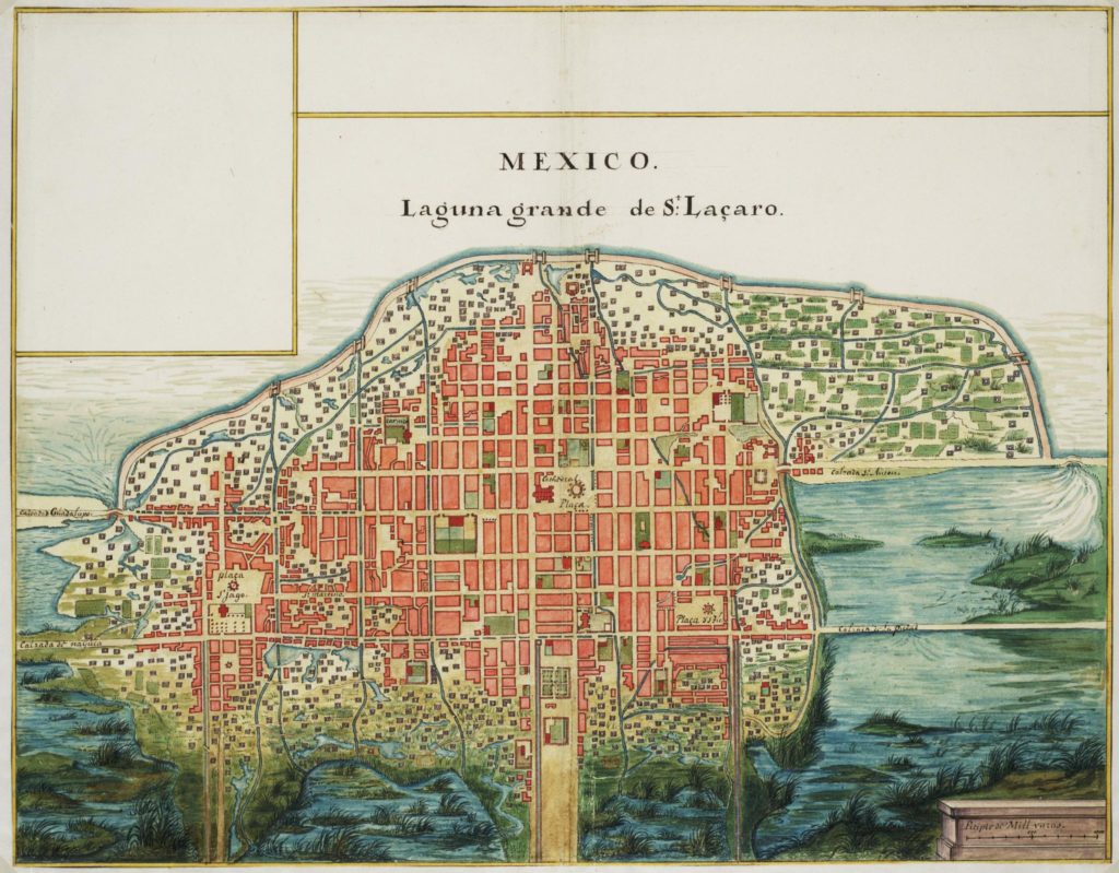
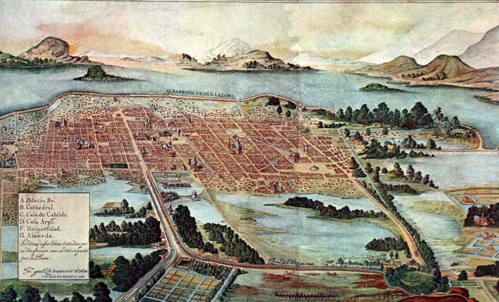
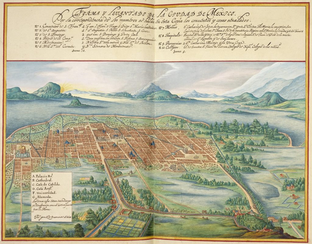
“[Mexico City] is the ultimate world city: ultimate in size, ultimate in population, ultimate in threat of paralysis and disintegration, ultimate in the problems it presents …” — Peter Geoffrey Hall, The World Cities Series, 1984.